
Establishing independent communication networks has emerged as the fundamental prerequisite for all other high-tech interventions in areas where traditional cell towers have failed. When catastrophic floods devastated Germany’s Ahrweiler district, the immediate loss of connectivity paralyzed rescue efforts, highlighting a critical flaw in modern civil defense. In response, the German Aerospace Center (DLR) initiated RESITEK, or Resilient Technologies for Civil Protection, to bridge the gap between theoretical research and frontline application. This project shifts focus toward a cohesive ecosystem where researchers, aid organizations, and emergency services function as a single unit. As modern society becomes more dependent on complex, interconnected infrastructure, the potential for cascading failures grows. RESITEK seeks to mitigate these risks by creating a modular technological framework that functions even when power and transport networks are severed, ensuring that the next major crisis does not lead to total operational blindness.
Digital Synthesis: Integrating Machine Intelligence and Airspace Coordination
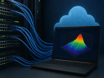
One of the primary breakthroughs of the RESITEK project involves the creation of a unified digital situational picture, which fundamentally eliminates the fragmentation of information that typically plagues emergency management. By layering macro-level data obtained from high-resolution satellite observations with micro-level details captured by on-site drones and ground-based robots, the system generates a comprehensive, live-action view of the disaster zone. This approach replaces the reliance on static, outdated maps with a dynamic environment that updates in real-time as conditions change. Artificial intelligence serves as the central engine for this influx of multi-source information, filtering through massive quantities of video and imagery to identify critical hazards like gas leaks or structural instabilities. This synthesis ensures that every operative, from the individual medic in the mud to the high-level command center, views the same high-fidelity data, allowing for rapid and informed deployment of resources.
As the deployment of unmanned aerial vehicles becomes a standard practice for reconnaissance, the risk of mid-air collisions with manned rescue helicopters has become a major safety concern. RESITEK addresses this through integrated airspace monitoring systems designed to coordinate dozens of aerial assets simultaneously within a small geographic area. During field exercises, researchers tested strict communication protocols and automated avoidance systems that allowed autonomous drones and human-piloted aircraft to share the sky safely. This level of coordination is vital for maintaining the pace of rescue operations in high-stress environments, ensuring that the air remains a safe corridor for both reconnaissance missions and critical medical evacuations. By creating a transparent, real-time registry of all flight paths, the system eliminates the need for grounded drones whenever a helicopter approaches. This integration ensures that the eyes in the sky never have to blink, providing continuous surveillance while ensuring safety.
Strategic Logistics: Deploying Resilient Communications and Infrastructure Models
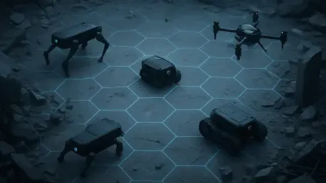
During major natural disasters, the total collapse of the national power grid often leaves first responders isolated, forcing them to rely on archaic methods that cannot support modern data transfer. RESITEK solves this by deploying localized, ad-hoc emergency networks that maintain high-bandwidth connectivity regardless of the state of the surrounding infrastructure. These mobile mesh networks utilize portable base stations that can be rapidly set up or dropped into position by drones. This technological backbone provides the necessary throughput for video streaming and real-time GPS tracking, creating a bubble of connectivity over the impact zone. Furthermore, specialized hardware like the SHERP amphibious vehicle serves as a rugged, mobile launchpad for these autonomous systems. This vehicle traverses deep water and steep embankments, ensuring technology reaches the heart of the disaster. By utilizing nested systems, the project ensures that sensor arrays can be deployed precisely where they are needed most.
The broader implications of the RESITEK initiative extended toward the long-term stability of critical infrastructure, encompassing everything from power grid modeling to the monitoring of extraterrestrial space weather. Researchers developed forecasting tools that predicted the impact of solar storms on the satellites and electrical systems that emergency teams relied upon, creating a holistic defense strategy against both terrestrial and atmospheric threats. To move forward, policymakers prioritized the standardization of these modular communication nodes across all regional disaster management agencies to ensure interoperability during multi-jurisdictional events. Financial investments were directed toward the mass production of amphibious hubs and autonomous sensor arrays, making them accessible to smaller municipalities prone to seasonal flooding. Additionally, regular cross-sector training exercises became mandatory, ensuring that human operators remained proficient in managing the AI-driven situational maps. These actions transformed lessons into a proactive blueprint.