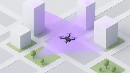

By utilizing Nvidia’s edge computing and ODC’s AI-driven software, 5G networks are now capable of extracting granular signal interference data to identify and monitor unmanned aerial systems in real time. This technological leap addresses a critical vulnerability in modern security: the inability of conventional radar to monitor the lower altitudes where consumer drones often operate. The NetSense initiative, led by a consortium including Lockheed Martin and Verizon, represents a paradigm shift in how we perceive telecommunications assets. Instead of viewing cell towers merely as conduits for data, this approach treats them as sensitive environmental sensors. By repurposing the existing 5G spectrum, the project creates a virtual shield over urban centers without requiring the installation of new physical sensors on every street corner. This method exploits the high frequency and density of 5G nodes to ensure that no blind spots remain for potential intruders, providing a level of visibility that was previously impossible to achieve.
Integrating Intelligence: The Collaborative Multi-Layered Ecosystem
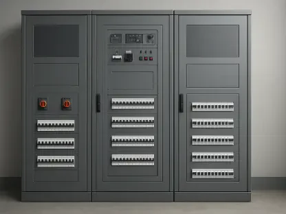
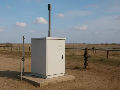
The architectural success of this system depends on a sophisticated synergy between hardware providers, network operators, and defense contractors. Verizon serves as the primary backbone, providing the expansive 5G infrastructure and the licensed commercial spectrum that serves as the medium for detection. To handle the immense volume of data generated by these network oscillations, Nvidia contributes high-performance edge computing nodes. These nodes process telemetry at the source, preventing the latency issues that would occur if data had to travel to a centralized cloud server. This localized processing is essential for maintaining the high-fidelity tracking required to follow a fast-moving drone through a complex city landscape. By utilizing existing antennas, the partnership eliminates the logistical nightmare of obtaining permits for new surveillance equipment. This strategic collaboration ensures that the technology is not only technically viable but also commercially scalable across different regions.
While the network provides the raw data, Lockheed Martin acts as the intelligence engine that translates these signals into actionable security alerts. The defense giant utilizes proprietary algorithms to distinguish between a small hobbyist drone and natural background noise, such as bird migrations or swaying trees. These AI models are trained to recognize the unique electromagnetic signatures of various drone models, allowing the system to provide track custody from the moment of takeoff. This means the drone’s flight path is predicted and monitored continuously, even if it maneuvers behind large buildings or through narrow alleys. The integration of military-grade signal processing with commercial cellular tech allows for a level of precision that exceeds traditional civilian surveillance. This capability is particularly useful for protecting sensitive sites like power plants or government buildings, where understanding the intent and trajectory of an aerial object is just as important as detecting its presence.
Technical Precision: Harvesting Data from the Cellular Spectrum
At its core, the system functions by monitoring specialized software metrics that were originally designed to maintain call quality and data throughput. In a standard 5G environment, signal interference is usually seen as a problem to be mitigated; however, in this context, it becomes the primary source of intelligence. When a physical object like a drone enters the radio field between two towers, it causes predictable disruptions in the signal path. By analyzing these deviations with extreme granularity, the software can triangulate the exact position and altitude of the object. This software-defined approach to airspace awareness is revolutionary because it relies on mathematical analysis rather than physical optics or traditional radar pulses. Because the 5G spectrum is so densely utilized, the system can detect objects that are far too small or are flying too low for standard aviation radar to notice, bridging a historical gap in low-altitude airspace monitoring for metropolitan areas.
To ensure this data is useful in a security context, the system must operate with near-zero latency, a feat made possible by the integration of high-performance GPUs at the network’s edge. These processing units are capable of performing billions of calculations per second, allowing the system to refresh the position of a drone hundreds of times per minute. This high refresh rate is critical for intercepting or neutralizing threats before they reach their intended targets. Furthermore, the use of AI allows the system to filter out multipath interference, where radio signals bounce off glass buildings and create ghost images of the detected object. By cleaning up the signal in real-time at the tower level, the network provides a clear, high-definition picture of the sky. This efficiency means that security personnel receive updates in milliseconds, which is the difference between a successful intervention and a security breach. The resulting data stream is both highly accurate and resilient to the modern city.
Strategic Implementation: Economic Models and Future Scaling
The success of the 2026 demonstration in Miami served as a catalyst for a new economic paradigm in the security sector. This pilot proved that the technology could thrive in noisy radio environments, where traditional radar is often rendered useless by signal clutter and physical obstructions. Consequently, this spurred the development of Airspace Awareness-as-a-Service, a model that allows entities to subscribe to drone detection on an as-needed basis. Instead of the massive capital expenditures once required for permanent hardware installations, city planners and venue managers now utilize a flexible software rollout. This democratization of high-level security means that even temporary events or small-scale industrial sites can benefit from the same level of protection as major military installations. By shifting the focus from hardware to scalable software, the industry has effectively removed the financial barriers that previously left many urban areas vulnerable to unauthorized aerial activity.
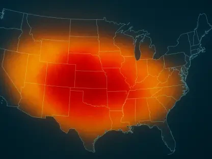
As the industry moved toward sensing-native 6G infrastructure, the lessons from the NetSense project provided a clear roadmap for future development. Stakeholders transitioned beyond simple connectivity, focusing on the integration of environmental sensing into the core of every telecommunications network. This evolution required a concerted effort to establish robust privacy standards, ensuring that sensing capabilities remained strictly limited to flight safety and security. Moving forward, the emphasis shifted to expanding these capabilities into rural areas where tower density was historically lower, requiring the use of satellite-integrated 5G to maintain coverage. Organizations implemented these software-defined solutions as the primary standard for national airspace awareness, effectively turning the invisible radio spectrum into a proactive safety net. These actions ensured that as drone technology became more prevalent, the infrastructure was already prepared to manage and secure the skies.