
The intensifying threat of high-intensity wildfires across the Western United States has necessitated a radical shift from reactive suppression to proactive detection and mitigation strategies. As the FireSat constellation begins its deployment phase starting in late 2026, the technology promises to bridge a critical gap in current orbital monitoring capabilities which often fail to spot ignitions until they have already grown into uncontrollable infernos. This ambitious initiative, spearheaded by a collaboration between Google and the Environmental Defense Fund, utilizes advanced sensors capable of detecting small-scale fires approximately the size of a typical classroom within minutes of their emergence. By leveraging high-resolution thermal imaging and proprietary artificial intelligence algorithms, FireSat aims to provide a continuous global monitoring net that functions more effectively than existing weather satellites. These older systems frequently suffer from low resolution or infrequent revisit times, leaving critical blind spots that allow spot fires to escalate into megafires.
Precision Monitoring: The Role of High-Resolution Thermal Imaging
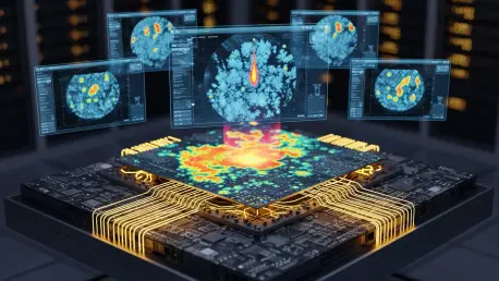
The technical backbone of this satellite network relies on a constellation of over fifty small satellites equipped with custom-built infrared sensors designed specifically for wildland fire detection. Unlike traditional meteorological satellites that orbit at high altitudes and capture broad weather patterns, these specialized units operate in low Earth orbit to maintain a high spatial resolution of approximately five meters. This granular detail allows the system to distinguish between a legitimate wildfire and smaller, benign heat sources like industrial chimneys or agricultural burn piles. Furthermore, the onboard processing units utilize machine learning models trained on millions of historical images to filter out false positives caused by solar glints or atmospheric distortions. This real-time filtering is essential because it prevents emergency dispatch centers from being overwhelmed by inaccurate data. By streamlining the flow of information from space to the ground, the system ensures that every alerted fire represents a genuine threat requiring immediate attention.
Continuous coverage remains the primary objective of the FireSat project, as the orbital configuration ensures that any point on the globe is revisited at least once every twenty minutes. This high temporal frequency addresses the fundamental challenge of the “golden hour” in firefighting, where the initial sixty minutes after an ignition represent the best opportunity to suppress a blaze before it reaches unmanageable levels. When a heat signature is detected, the satellite immediately transmits coordinates to ground stations via a high-speed data link, bypassing the delays inherent in manual verification processes. Moreover, the integration of atmospheric data allows the system to predict the likely direction of fire spread based on local wind speeds and humidity levels recorded at the time of detection. Such predictive modeling provides incident commanders with a tactical advantage, allowing them to pre-position resources in high-risk zones before the smoke column becomes visible from ground observation towers. This proactive stance fundamentally changes disaster management.
Strategic Response: Integrating Space Intelligence With Field Operations
The implementation of the FireSat network required a transformation in how ground crews received and processed thermal data during the initial stages of the pilot program. Decision-makers recognized that relying solely on terrestrial observation was no longer sufficient given the speed at which modern fires moved through desiccated forests. The establishment of the FireSat constellation provided a foundational layer of security that empowered agencies to act with unprecedented speed and precision. While the technology did not eliminate the presence of fire in the landscape, it successfully shifted the focus toward a more scientific approach to fire ecology. Once a potential ignition was identified, the information was funneled through a centralized cloud platform where it was cross-referenced with vegetation maps and topographic data to assess the fuel load in the surrounding area. This comprehensive situational awareness enabled dispatchers to determine whether a fire posed an immediate threat to residential infrastructure or managed wilderness.
Stakeholders prioritized the development of interoperable communication networks that allowed for the rapid dissemination of orbital data to the most remote firefighting outposts. This evolution in strategy emphasized the necessity of global cooperation, as the insights gained from California were applied to fire-prone regions in Australia and Southern Europe. By providing a clear picture of fire intensity and perimeter in real-time, the platform reduced the need for reconnaissance flights, which were often grounded during heavy smoke or nighttime conditions. Consequently, firefighting crews arrived on the scene with a better understanding of the terrain and the specific equipment required for containment, significantly increasing the safety and efficiency of initial attack operations. Ultimately, the integration of space-borne intelligence established a new standard for resilience and proactive environmental stewardship. The data generated facilitated long-term landscape management and forest health assessments through the rest of the year.