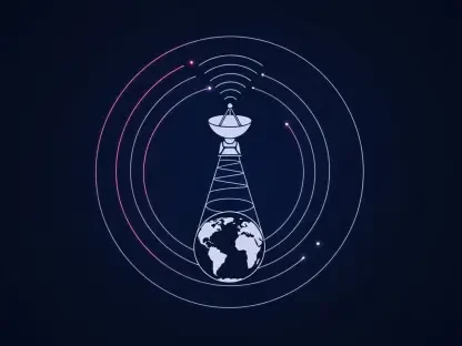

Unseen by many, satellites orbiting high above our planet are quietly transforming how scientists track forest carbon. These silent sentinels gather vast amounts of data, unraveling the mysteries of carbon storage—a vital piece in the climate change puzzle. As forest conservation efforts accelerate, satellite technology is proving indispensable in providing the world with comprehensive, accurate carbon assessments.
Unmasking Forests’ Hidden Carbon Role
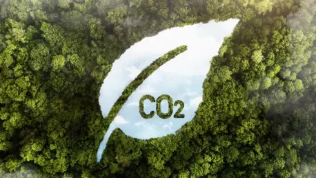
Forests act as a massive carbon sink, sequestering carbon dioxide from the atmosphere—an integral process in controlling climate change. Accurately measuring this carbon intake is crucial for informing global climate commitments, like those outlined in the Paris Agreement. The traditional methods of assessing forest biomass often fell short, limited in accuracy and scope. However, with the introduction of advanced satellite technologies, scientists can finally capture a clearer picture of how much carbon our forests truly hold.
Technological Advancements in Satellite Monitoring
The development of satellite missions such as the European Space Agency’s Envisat and Copernicus Sentinel-1 has been game-changing in the field of carbon tracking. These missions have evolved with the integration of new technology, such as the P-band radar, featured in the recently launched Biomass satellite. This cutting-edge technology has enhanced the precision of carbon measurements, allowing a much deeper analysis of forests’ carbon storage capabilities. By penetrating dense forest canopies, these satellites offer previously unseen insights into biomass measurement and forest carbon tracking.
Forging Global Collaborations
International collaboration plays a crucial role in this endeavor. Space agencies worldwide are pooling their resources to develop high-resolution forest carbon maps, which are instrumental in environmental research and policy-making. Case studies showcase how agencies, such as NASA and the European Space Agency, collaborate to synthesize data from multiple missions, including Japan’s ALOS PALSAR, and integrate them into valuable resources for understanding global carbon dynamics.
Correcting Historical Misestimations
Historically, regions like the Amazon and Central Africa, known for their carbon-rich environments, were misjudged due to the limitations of earlier tools. Satellites now illuminate these areas with unprecedented accuracy, correcting past underestimations. This comprehensive view of forests helps prevent misinformed decisions in conservation and climate policy, ensuring more robust responses to climate change challenges.
A New Era of Possibilities in Carbon Tracking
Experts at prominent institutions, including Aberystwyth University and the European Space Agency, hail satellite technology as transformative for forest carbon research. Researchers involved in these missions share how satellite data surmount past challenges, offering a detailed understanding of Earth’s carbon reservoirs. Insights shared emphasize the groundbreaking nature of these advances—highlighting the pivotal role satellites play in reshaping our approach to climate science.
Paving the Path for Future Climate Strategies
The new frontier of satellite capabilities opens doors to actionable strategies for integrating this data into climate policy. By leveraging refined insights into forest carbon, scientists and policymakers can create robust frameworks to enhance forest conservation efforts. Balancing immediate policy actions and long-term sustainability goals becomes manageable with precise, satellite-derived data guiding the way.
In reflection, satellite technologies marked a significant leap forward in forest carbon tracking, finalizing a once-elusive grasp on this vital environmental component. As this technology continues to evolve, it poises experts and policymakers to weave its vital insights into actionable climate plans, setting a transformative path toward a sustainably balanced future.